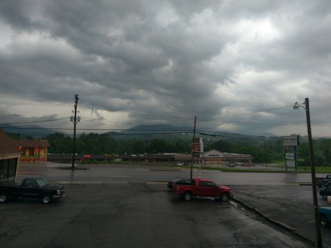
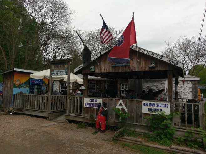
I’m in a coffee shop in Dalesville, VA, the second day of a “double zero”, meaning two consecutive days of no hiking.
Doing a zero every humdred miles or so is a good idea. Gives your body a chance to rest and heal up a bit. There’s also a ton of logistics to get done. Planning the next hundred miles or so, equipment repair or replacement, food resupply, blog updates, maybe some personal hygiene. After a few days on the trail all hikers tend to start having the same, shall we say, aroma. Since we’re all in the same olfactory condition, you tend to numb out and it doesn’t seem too bad. Until a fly lands on you and dies. About then you should start planning for a zero day.
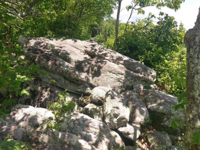
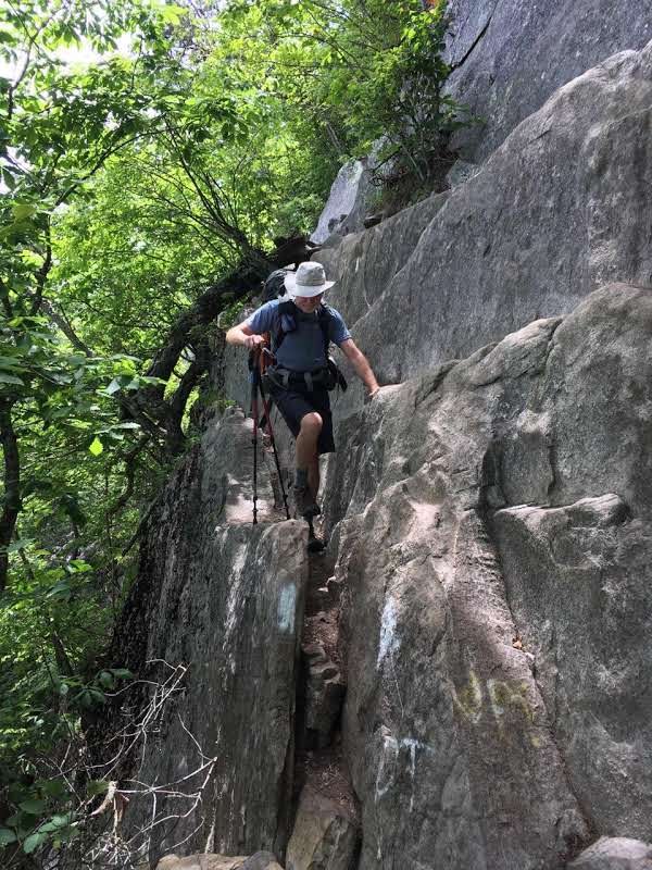
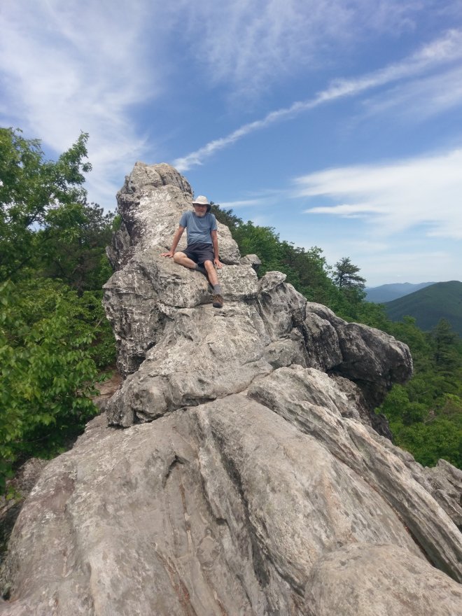
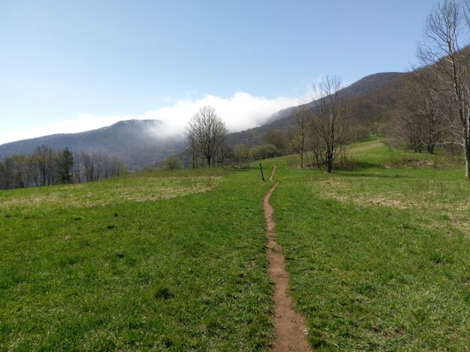
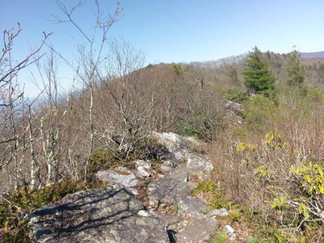
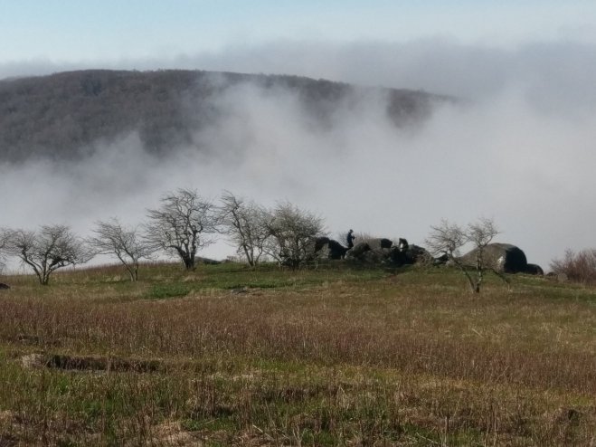
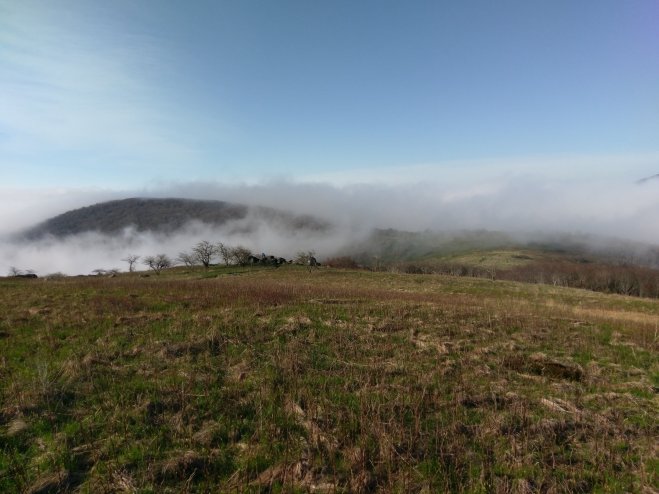
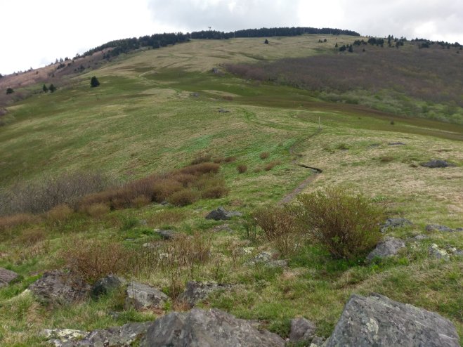
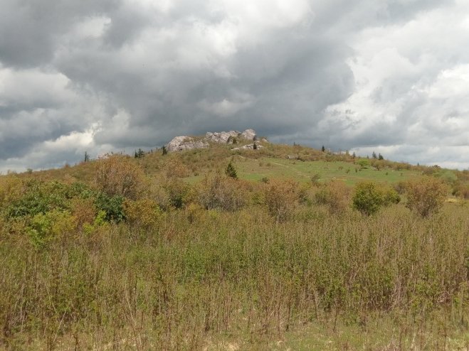
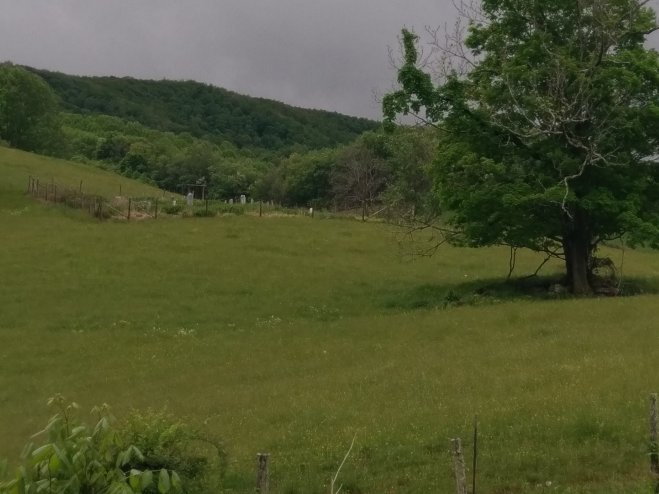
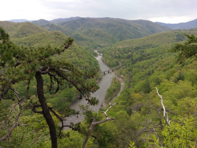
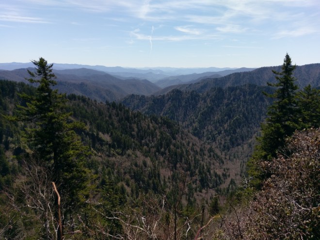
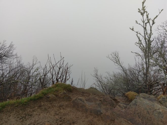
A double zero was really needed right now. The 95 miles from Pearisburg to Dalesville were tough. For starters, it got hot and humid. Major energy sucking heat and humidity. Elevation gains were not much different than other parts of the AT, but the rocks seemed to be especially nasty. Like the rocks have little hidden hands that reach out to grab you. There were a few places where the term “trail” seemed a bit generous. This section of trail included features like the Dragon’s Tooth, McAfee Knob, the place where Audie Murphy’s airplane couldn’t quite make it over the mountain, and the Eastern Continental Divide.
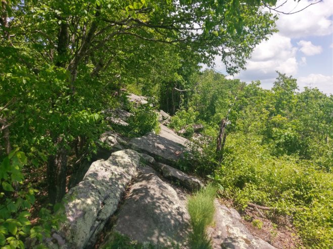
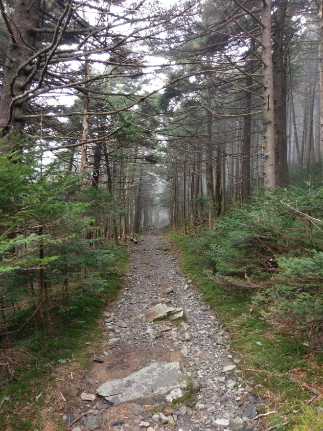
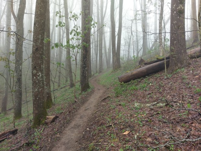
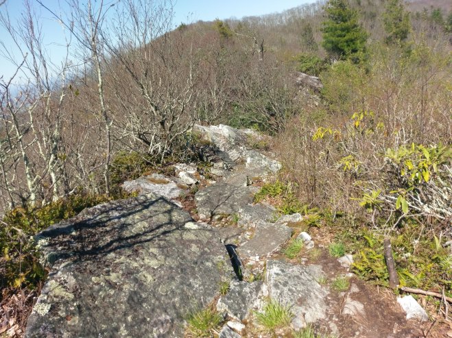
Yes, this is the “trail”. Trail? What trail? We don’t need no stinking trail.
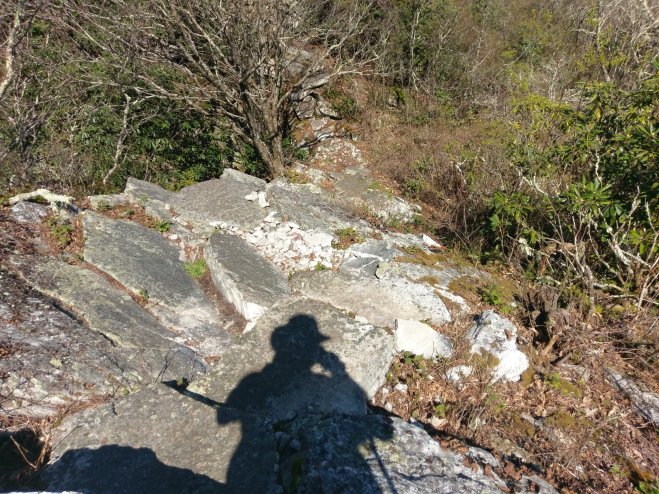
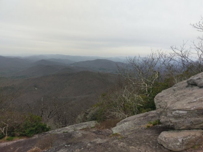
Up on the Dragon’s Tooth.
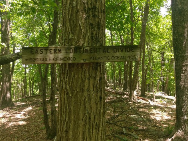
The Eastern Continental Divide. So now all our blood, sweat, and tears flow into the Atlantic Ocean instead of the Gulf of Mexico.
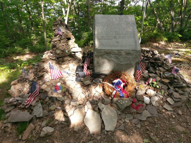
The Audie Murphy Memorial.
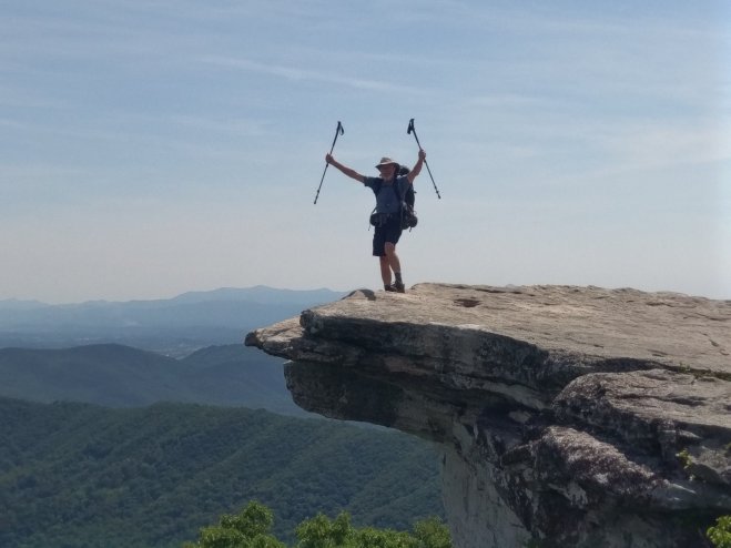
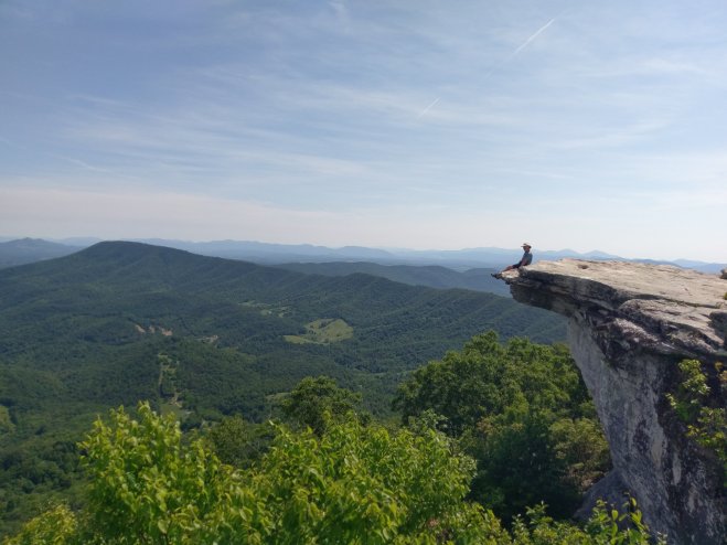
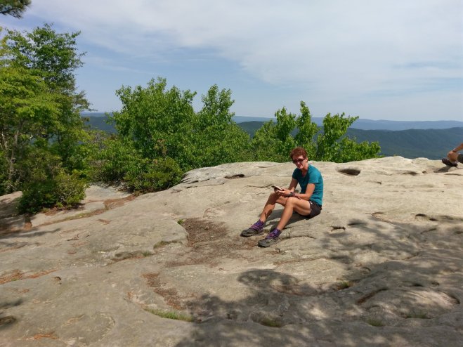
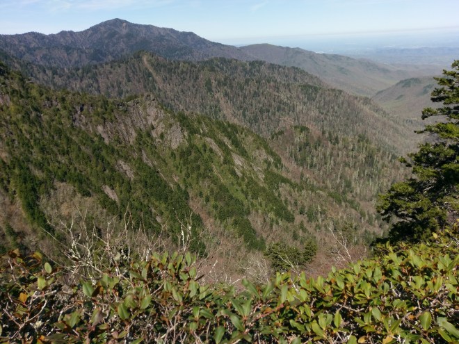
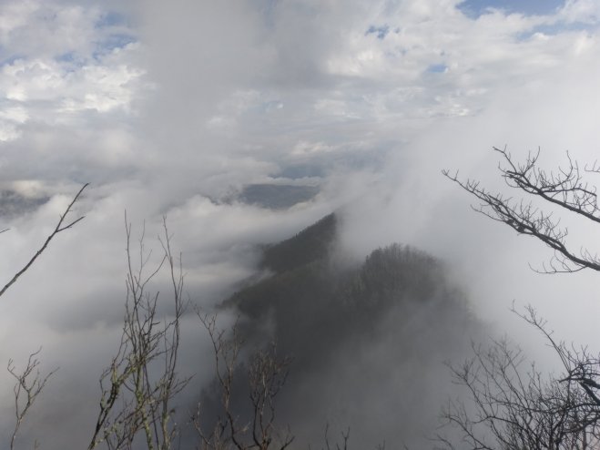
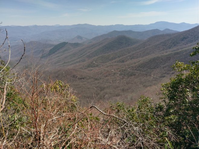
McAfee Knob, one of the AT high points, both literally and figuratively.
I have referred to the AT as a linear community. Which makes communications interesting, especially with sometimes no cell connectivity.
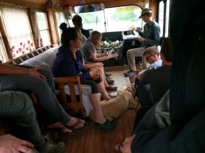
I’ve been hiking in a “bubble” of hikers that includes Shocktop, Red Beard, his father The Wiz, my original trail family consisting of Gunner, Cash Money, Robin Hood, Crusher, and Sponge Bob, as well as a few other bit players. We see each other along the trail or at places hikers congregate such as the motel where we are all doing zeros. So messages, information, and gossip get passed up and down the trail haphazardly.
For the past couple weeks I’ve been zeroing, camping, and planning primarily with Shocktop. On this stretch into Dalesville she was having some problems with the heat and a general malaise. Wednesday we started over 23 miles away from Dalesville. We started Wednesday thinking we would be camping another night then getting into Dalesville Thursday morning. She made is motel reservations for Thursday night. I had to stop to filter water and she ended up about 20 minutes ahead of me. Apparently, about mile 15 she decided to make it all the way in. I passed another hiker and he asked if I was Steady Eddie. When I affirmed I was he said, “the lady ahead of you said she changed the motel reservations and you have to make it into Dalesville tonight.” Thus I was I formed that I would be doing a 23+ mile day, my longest to date.
Shocktop.
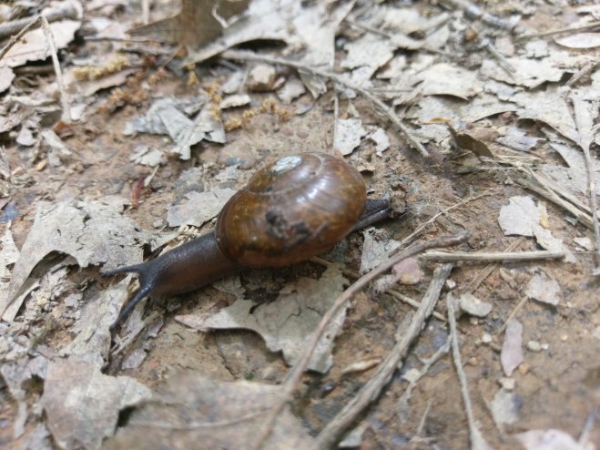
I have finally seen my first bear this trip. And the warm weather has brought out more of the cold blooded representatives of the animal kingdom.
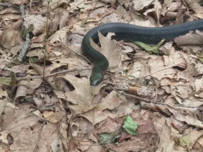
Blue racer.
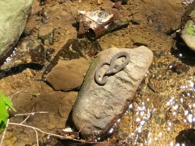
Water snake.
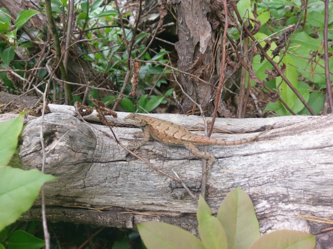
Fence lizard.


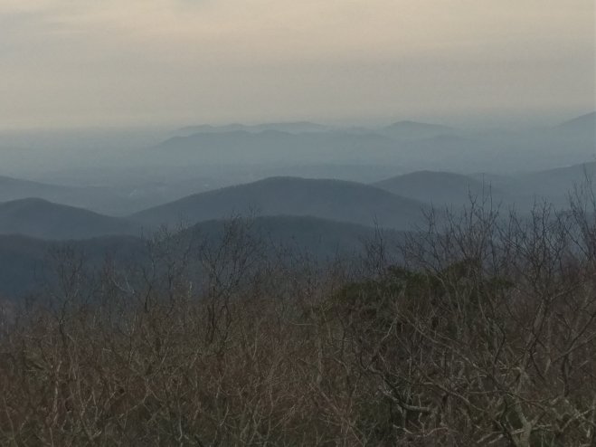
 Views of the Smokies. I walked those hills.
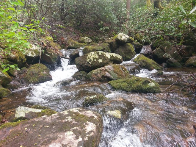
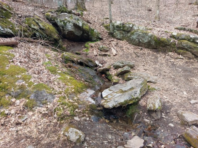
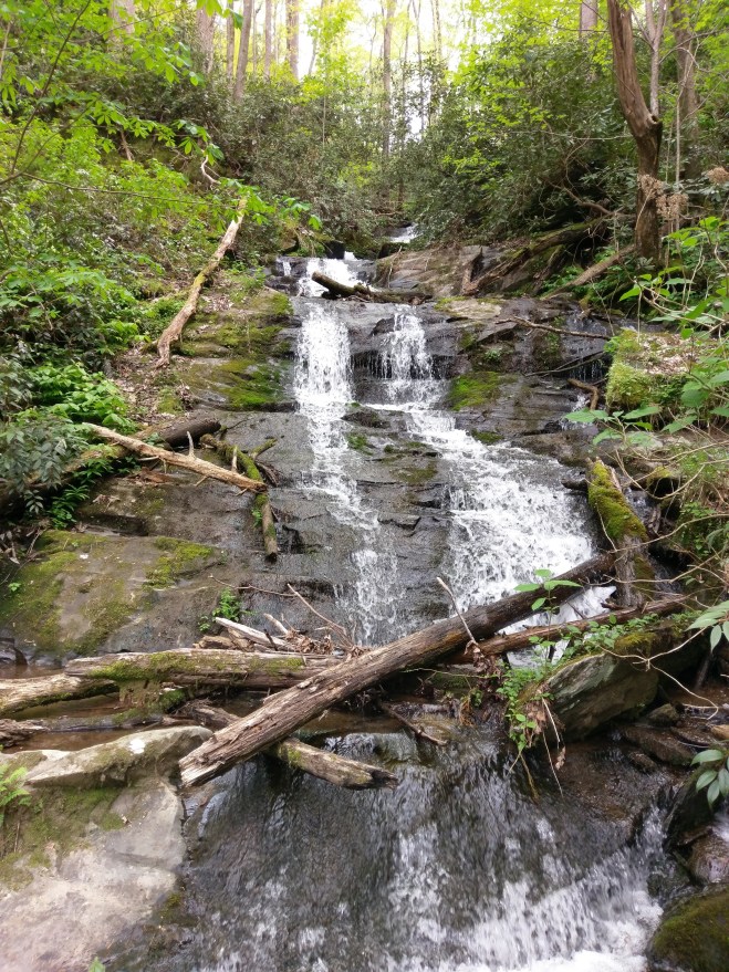 Typical small stream crossing the trail.
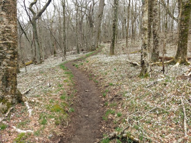
 All the white spots are spring beauties.

 Trillium.
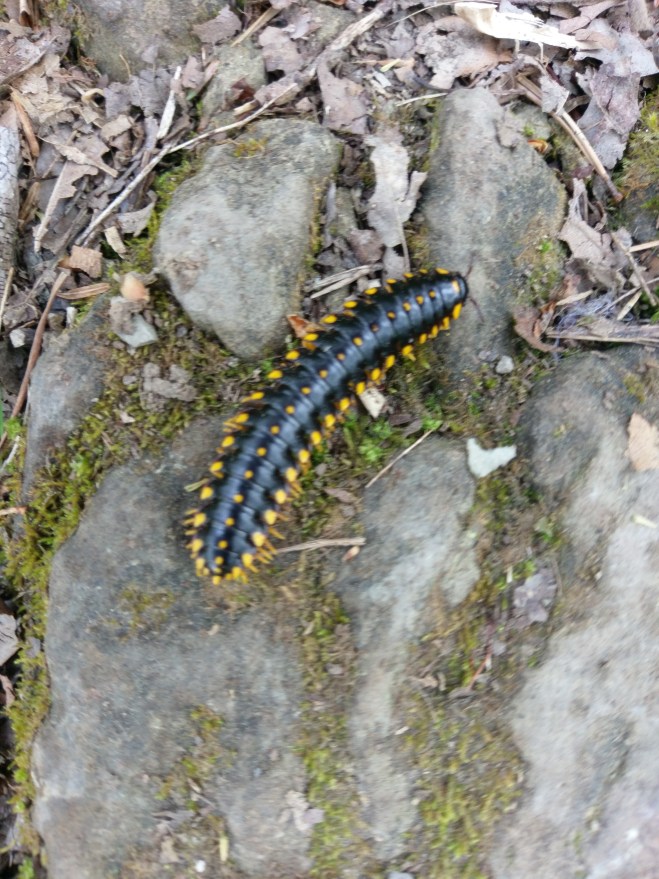
 Bugs.
Bugs. Snake, unknown species.
 Icicles, two days after my bathroom camp-out, and temperatures around 60 degrees. This is called micro-climate.
 The flood stage French Broad River, flooding the trail near Hot Springs. The trail goes between the trees and the water. two days ago it was about eight inches higher.


 Lise and a one year old Ava.
 Some orchids at the Missouri Botanical Garden in St. Louis.
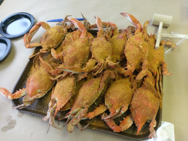 These guys were in the water not too long before becoming a right tasty dinner.
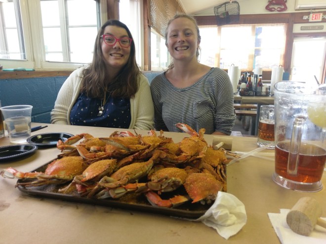 About to pounce.
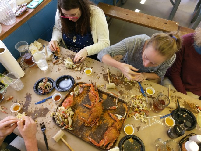 How often is a mallet part of the tableware?
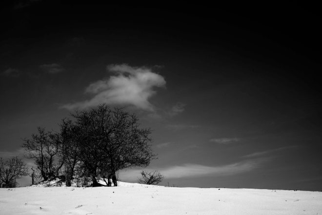 Trees on the dunes.
 Early emerging snakes.
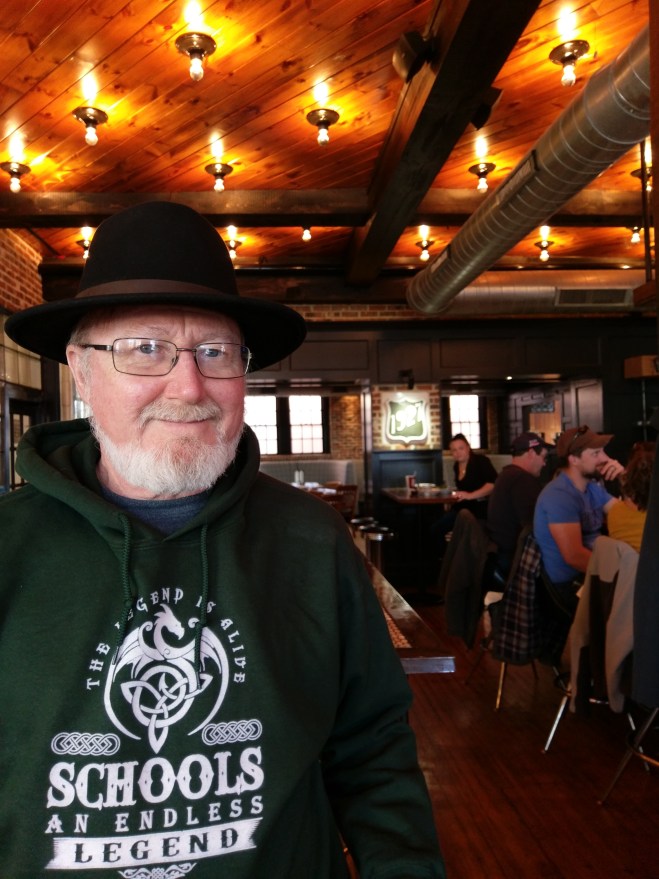 Going coastal at the Rose and Crown.