A lot has happened since my last post. I made it through the Smokies, but it wasn’t easy. The Smokies are tough if you’re thru hiking. You’re limited on where you can camp, the terrain can be rugged, and the weather downright nasty. April 14th I did 12 miles in some of the nastiest weather I’ve ever been in. Rain and hail, constant 35 mph winds, and temps in the 40s. I made it past Clingman’s Dome, the highest point on the Appalachian Trail. One would think it was all downhill from there but, nooooo, I’m thinking Appalachian is a Cherokee word for “always steep uphill”.

The tower at Clingman’s Dome, highest point on the AT. I didn’t bother going up for the view since there was no view.

The trail in the rain, on the lee side of Clingman’s Dome. One of the few respites from the wind.
I got into Newfound Gap wet, cold, and tired, thinking I could get a ride the 15 miles into Gatlinburg to get out of the weather. Lucky me, the National Park Service closed the road from Newfound Gap into Gatlinburg and Cherokee, without bothering to have anything posted anywhere in the parking area. I had made it to the bathroom to get out of the weather to call for a ride and was informed by a shuttle driver the place was closed down. I knew there was hiker behind me and after a while I went back out to flag him down. His phone wasn’t working so he was waiting for a car to come by so he could hitchhike into Gatlinburg. I think he was close to hypothermia. We spent a night in the bathroom where at least we were out of the wind and rain. I met people that ended up in the bathroom at Clingman’s Dome, and some other people had to be rescued due to hypothermia. Turns out this is a common occurrence early in the season and these bathrooms are well established as bad weather shelters.

The ice that greeted us in the morning.
The next day the road opened, and we got a ride down into Gatlinburg. If you ever have the chance to visit there, don’t. Gatlinburg is essentially a four-mile strip of highway with the sole purpose of separating you from your money in the tackiest ways possible. Tourist schtick at its finest. The heathens don’t even serve scrapple at breakfast.
I spent a day there drying out and getting reorganized, then punched through the Smokies in another two days. It took me five days of hiking to get through, Which, isn’t too bad considering National Park Service gives you eight days on your back country pass to get through.
The Smokies are beautiful, and way more rugged and unpredictable than people think. When the road to Newfound Gap opened the temperatures were in the 30s, wind was still blowing hard, and clouds of snow blowing up the valleys. Tourists from Gatlinburg, 15 miles away but 4,000 feet lowered in elevation, were hopping out of their cars in sandals and T-shirts. They would run to the edge of the parking lot, snap a quick picture, then jump back in the car.
The Smokies were not what I would call fun to walk through, but they are impressive. The elevation differences and the remoteness of portions of the Smokies make it a biological treasure. Wildflowers were popping out and trees at lower elevations starting to leaf out. I saw at least six species of trillium. This is the first time I’ve ever seen a hillside blanked with spring beauties. This would be a great area to explore with a real camera sometime.


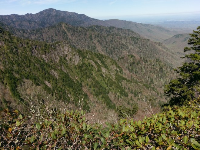
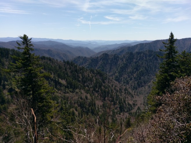 Views of the Smokies. I walked those hills.
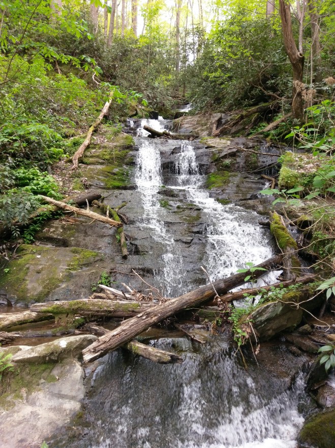 Typical small stream crossing the trail.
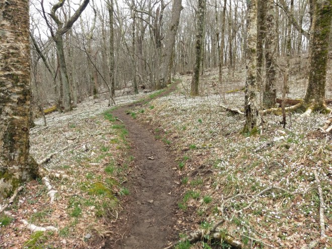
 All the white spots are spring beauties.


 Trillium.
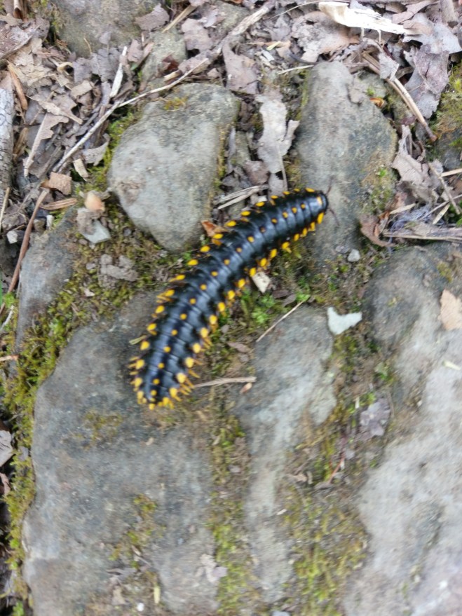
 Bugs.
Bugs.
 Snake, unknown species.
 Icicles, two days after my bathroom camp-out, and temperatures around 60 degrees. This is called micro-climate.
After the Smokies it took me a couple days to get into Hot Springs North Carolina, where Lise met me for a couple days. As with everything on the AT, nothing is easy. Seeing some ugly weather developing about when I would be getting into Hot Springs, I did an 18-mile day, followed by my first 20-mile day to minimize the miles I would be walking in thunderstorms. I was the last person that got into Walnut Mountain shelter, 14 miles outside Hot Springs. Everyone after me had to tent. About 5:00 AM, the sky opened up. I did a seven-hour, 14 mile walk into Hot Springs. There was another day of rain, and snow showers at night, but I was safely tucked into an Airbnb Lise booked. I took yesterday completely off to organize for the next couple weeks, and today was a slack pack day. Lise took me ten miles up the trail with just water and snacks and I hiked back into Hot Springs. Tomorrow she will drop me off at that ten-mile pint and I start hiking back north.
 The flood stage French Broad River, flooding the trail near Hot Springs. The trail goes between the trees and the water. two days ago it was about eight inches higher.
I have lots more to write about, like the people one meets on the trail, trail magic, logistics, and some other topics. These will all need to wait until the next time I can do a post.
